Albert
-
Posts
1,109 -
Joined
-
Last visited
-
Days Won
22
Content Type
Profiles
Forums
Gallery
Calendar
Posts posted by Albert
-
-
1 hour ago, throet said:
Yep that works. You can also click on the timestamp showing the last post, and it will take you to the end of the thread. Within the threads I noticed there is a bookmark showing you where the unread posts begin. All very nice features.
Yeah, I like how it delineates where the new posts start, that's nice.
-
1 hour ago, CBaron said:
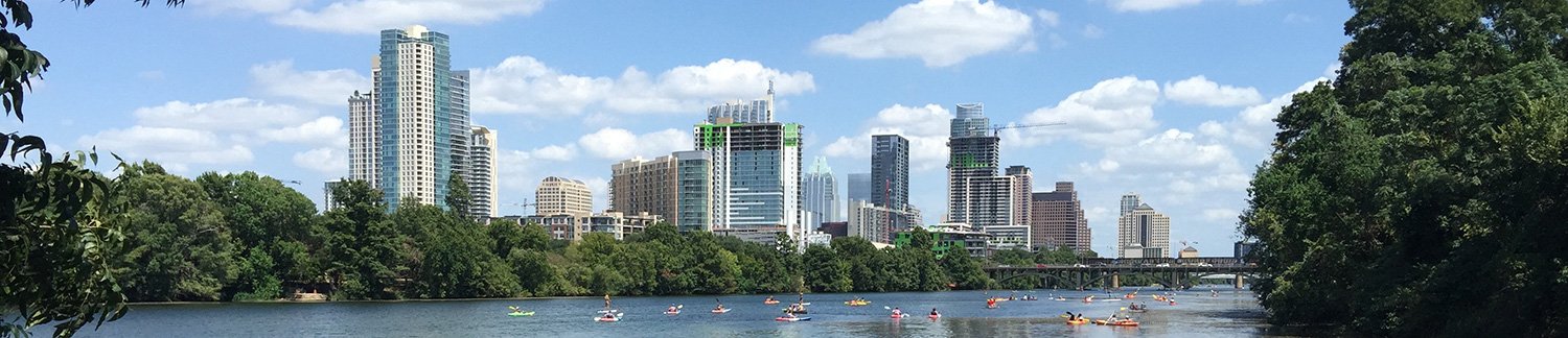
If we are making suggestions for header photos, can I offer this up? We did a TF photo shoot about 10 yrs ago and wanted to capture something 'essentially Austin' and this was one of the shots. IMHO what it captures is pretty iconic to ATX riding.
That's one of my favorite spots on BCGB, can't tell you how many photos I've taken there. And this one is an action shot, so even better. I'll see how it looks in the header, thanks for sharing it!
..Al
-
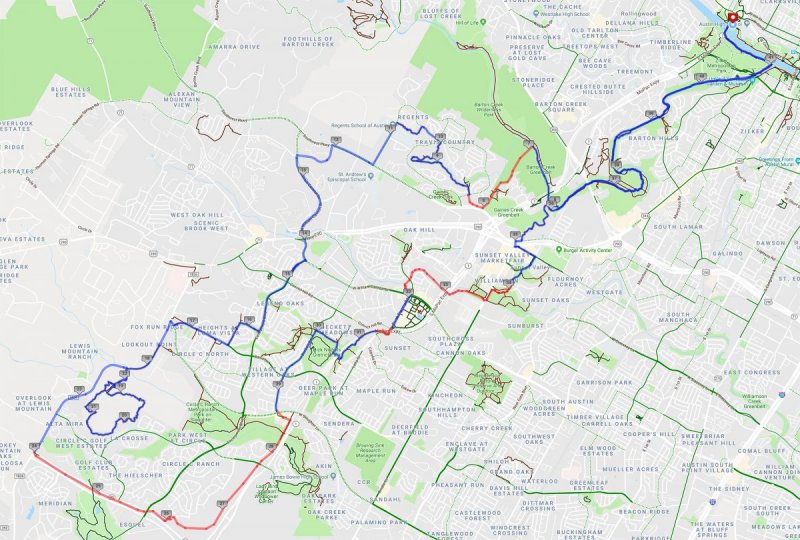
Finished my ride and just got home!! Ended up riding 49 miles and moving time was 5:43. Was able to ride it pretty much as I laid it out, but some of the construction forced me to pause and or route around a few times. Really love that trail wedged between the two sides of 45, but had fun on everything. Maybe less so the stuff completely exposed to the sun after things started heating up. Really crazy how much trail is down there. And I'm sure I could have stitched it together even better with more singletrack, but my knowledge of all the SATN trails is limited.
I noticed they are starting to build concrete paths on top of some existing trails. Was surprised to see concrete underneath Mopac east of Dick Nichols park, and then more along Mopac further north. And saw flags and stakes in other areas that made me go, "Hmmmmmm..."
Here's my Strava for the ride:
https://www.strava.com/activities/1792980740
-
It's not 105 yet!! I will need to find more water, though. Probably when I go by Dick Nichols. Just finished Slaughter Creek loop. Now to go further south on 1826!!
-
 1
1
-
-
You should be able to click the small icon to the left of the thread title. That will take you to the first unread post. I'll double check when I get home. Currently riding SATN. 😄
-
I made the map using MapMyRide. The red lines are where I had to turn "Follow roads" (which includes bike trails marked in Google Maps) off because trails are missing. I used the Strava Heatmap to find various trails not shown in Google, but I'm sure I missed quite a bit. I don't get down there often enough. The red lines are generally where there's singletrack and are not usually a straight line in real life. 😄
-
22 minutes ago, jcarneytx said:
OMG!!Totally going to enter my ebay pw and get that bike!
Please keep us posted, I want to know how that works out for you. 🙂
-
Going to attempt this tomorrow...
Going to start at the parking lot near Austin High School, ride some of the greenbelt, make my way south to the Slaughter Creek Trail, continue south to 45, then east a bit, then head back north. Many of the connecting trails I haven't ridden before, so should be...interesting.
-
1
-
-
Just now, Yosmithy said:
You're on the watch list now
And not just for that, I'm sure...
-
1
-
-
21 minutes ago, Yosmithy said:
I'm gonna tell the cops you're out there riding sockless
I've only done that once when I managed to not bring any bike socks to a ride. Fortunately I didn't get arrested!
-
That's good to know, I wasn't aware that the singletrack ran south of Slaughter Creek along 1826. I have taken it north to connect to Slaughter Lane before.
..Al
-
Kind of remarkable that so little has changed since 2002. I was aware of all the changes due to the arrival of the concrete path, but beyond that not very much!
-
I'm sure that would fool quite a few people who don't take a look at the URL. The site appears to be hosted by Namecheap.com here in the US, and they would probably shut it down if brought to their attention.
..Al
-
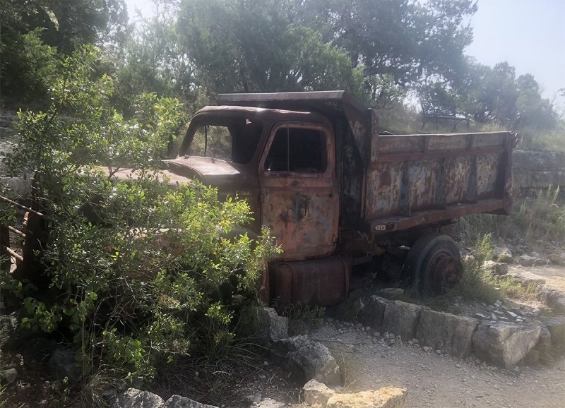
I took this photo last month...
I haven't yet installed the age booster mod for profile pics, but I'll get right on that.
..Al
-
Well, that's kind of crazy. That's a pretty good copy of eBay.
-
I'm kind of curious how this differs from the current trails. Obviously there's now a concrete highway through the park and several trail changes as a result of that. What else?
-
Well, that's pretty horrible. What is wrong with people?! Rode the trail yesterday morning (starting at 7:30am) and didn't see anything then.
-
@Urb, thanks for joining and taking the time to post. Good to know about the dig/ride days, I'll definitely look into them!
-
It's not something I've played with yet. I'll probably make them more visible in the header at the top of the page, instead of having to fish for them in the drop-down menu. I look forward to seeing what people do with them. I know they will be popular on my other forum once I get it moved to this same software.
..Al
-
Wow, next year? I thought they'd open after the race they are having next month. Interesting.
-
Are they going to be open to the public on August 25th?
-
I'm not sure I'll ever ride the black diamond stuff there if there are drops and jumps you can't avoid. I'm happy to roll stuff, but I've never really gotten into big air as I feel that's a direct path to injury. As fun as it looks.
-
I just registered for three laps. Whether or not I make it beyond two remains to be seen. 😄
-
1
-
-
1 minute ago, cramsay3 said:
You rock. Suggestion: The "like" buttons must include icons with more irony! It just doesn't feel right clicking on the "heart" button in this mountain biking forum.
I agree, I don't like the heart button either, I'm certainly going to change that one at a minimum.
..Al
-
2
-

Best Craig's List Ads
in Mountain Biking Discussion
Posted
Good job on finding the original auction. I did a reverse image search (using Google and TinEye) and didn't come up with anything. Guess they don't index eBay auctions, which is too bad.