
WhoAmI
-
Posts
300 -
Joined
-
Last visited
-
Days Won
16
Content Type
Profiles
Forums
Gallery
Calendar
Everything posted by WhoAmI
-
I'm a decade behind you and have changed my mind about e-bikes over the past few years. I'm not opposed to owning an e-mountain bike when my body can no longer perform like I want it to, be it continue to climb well or hold up on longer rides. On my nex trip to Bentonville with a group of friends, I want to rent one probably on the last day we're riding.
-
Interesting....
-
The last time I rode HCSNA...over 15-20 years ago, it was chunky in places with steep climbs and little flow.
-
Not enough miles for me to want to go. Plus, the primary photo of the trail looks like it was surfaced with limestone gravel.

-
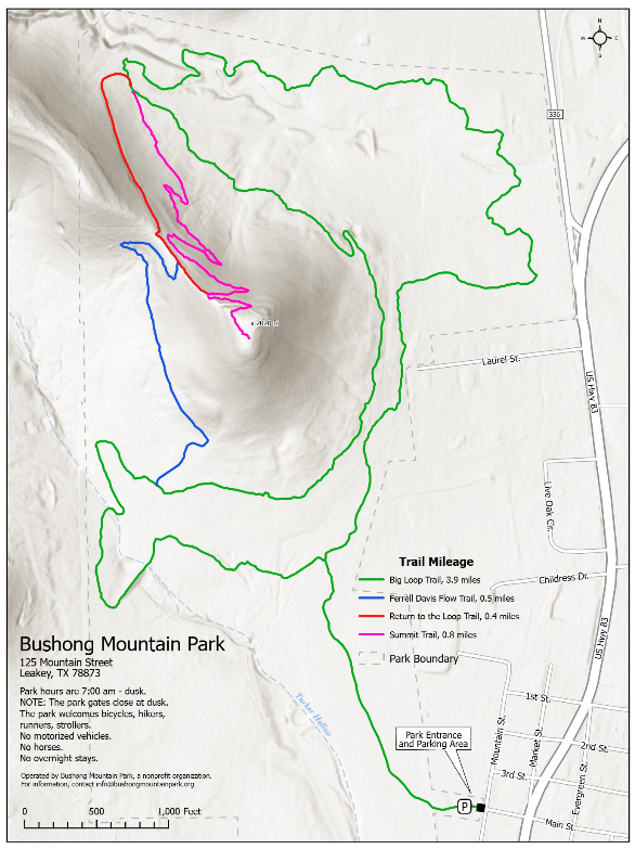
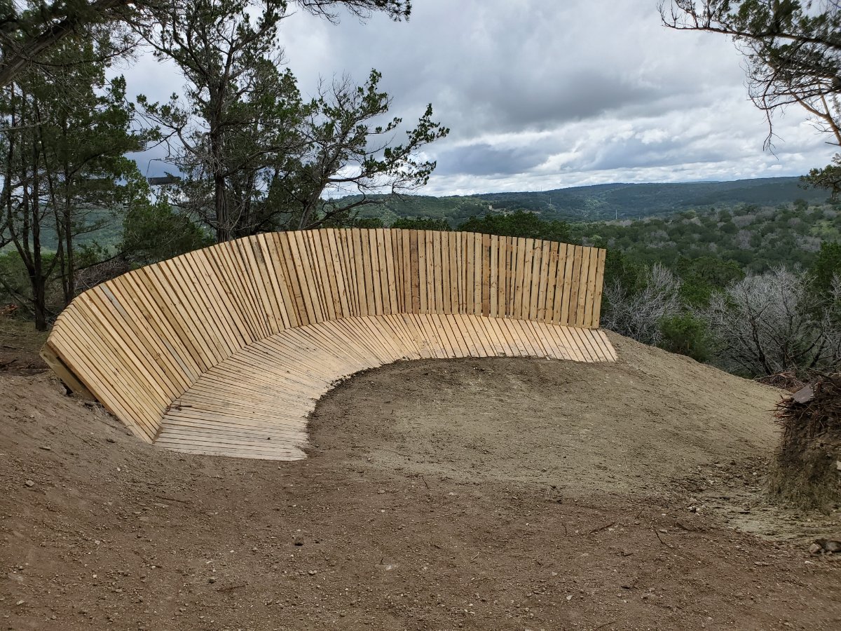
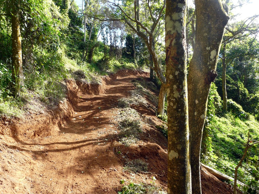
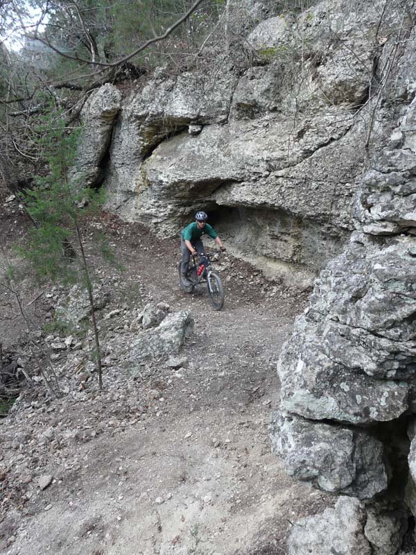
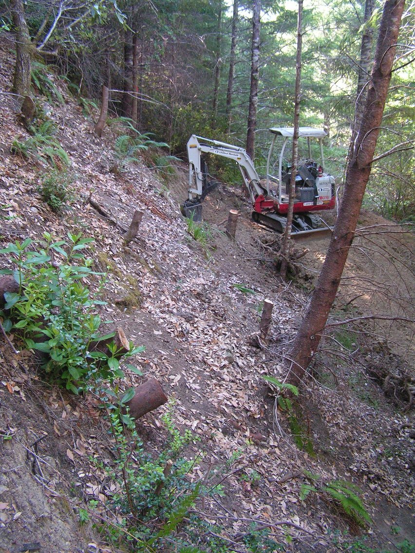
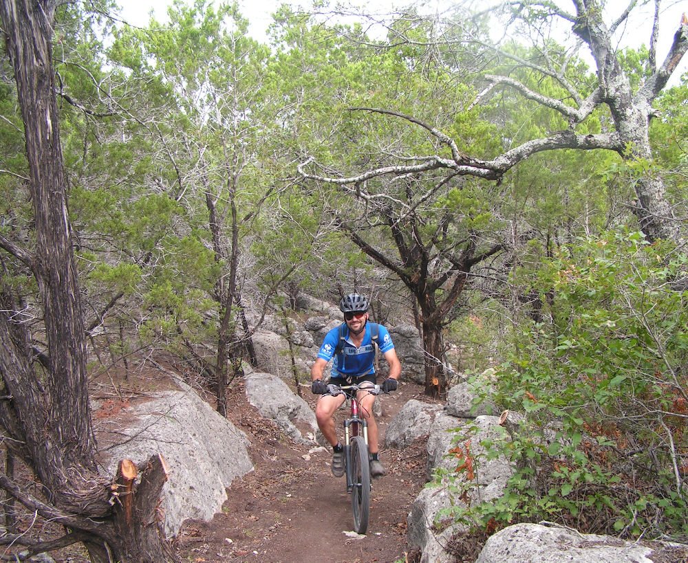
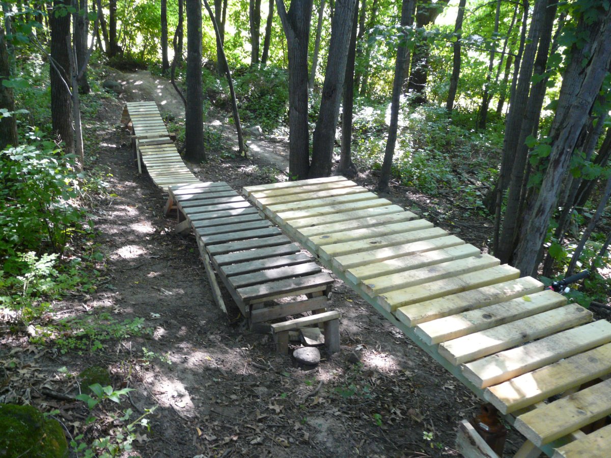
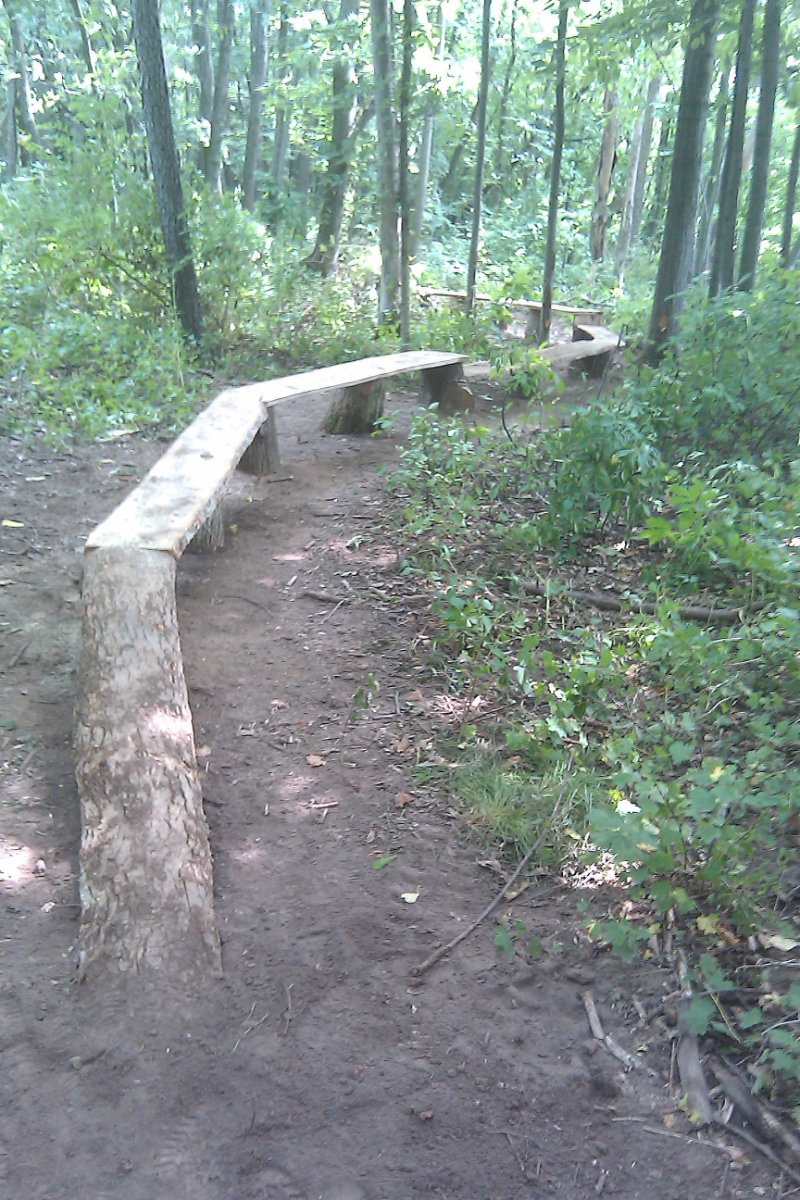
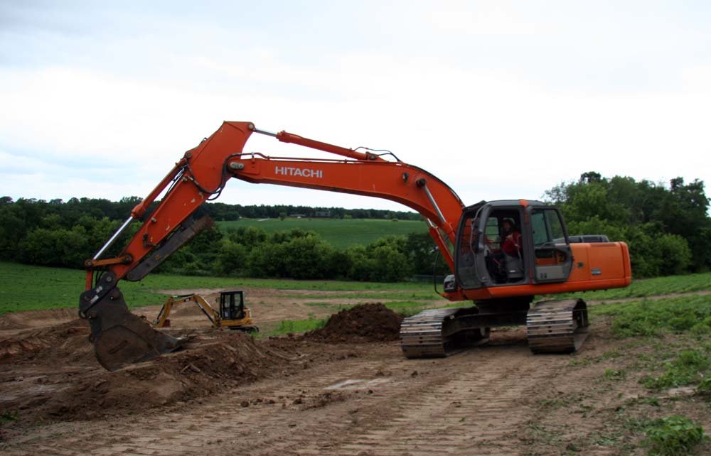
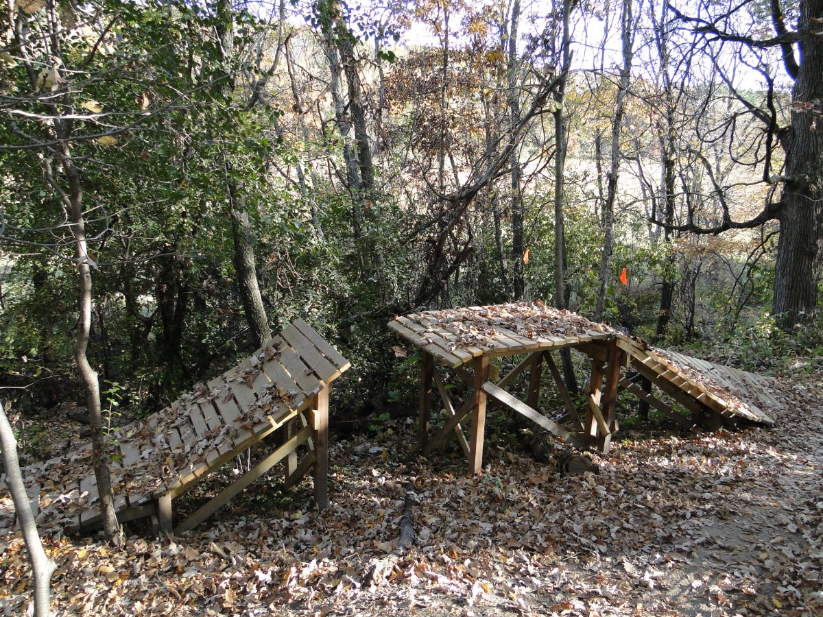
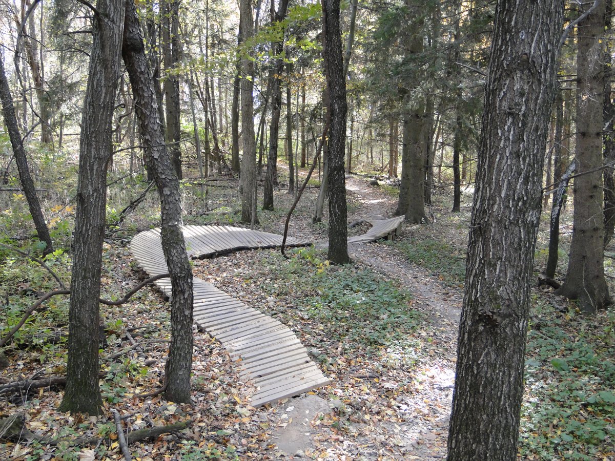
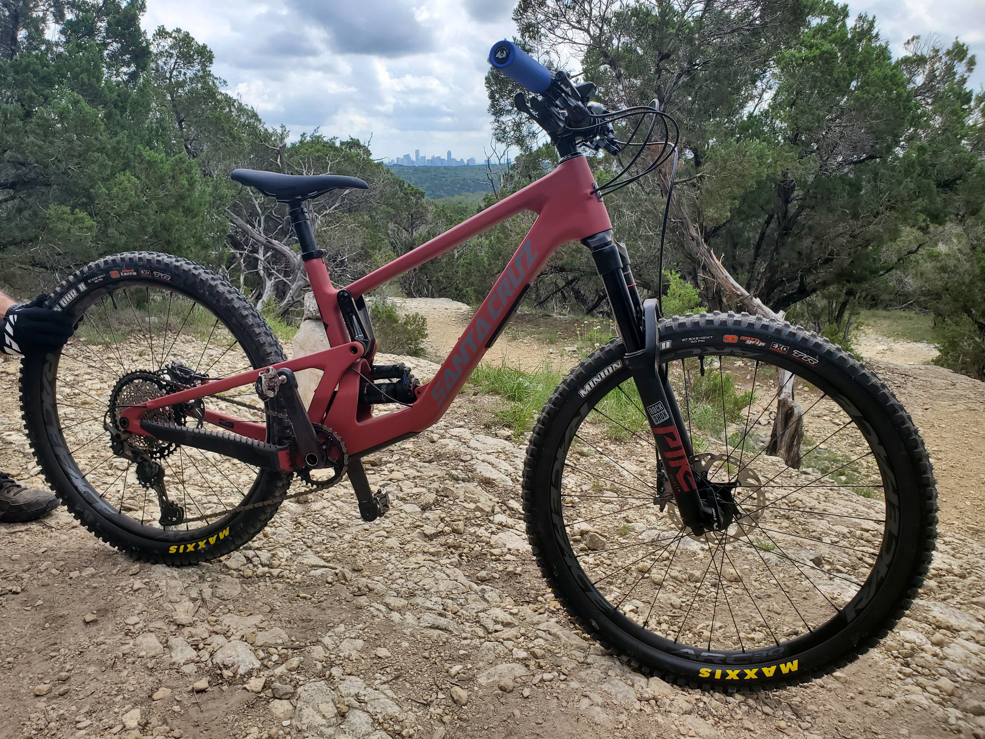
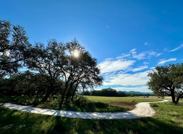
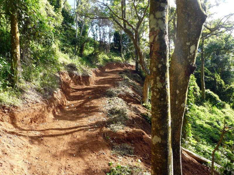
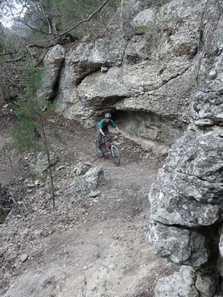
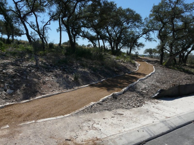
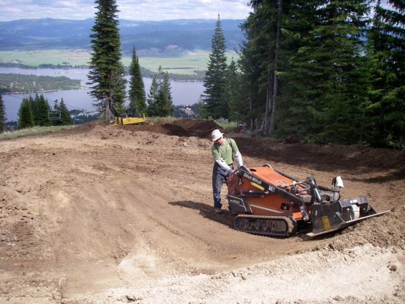
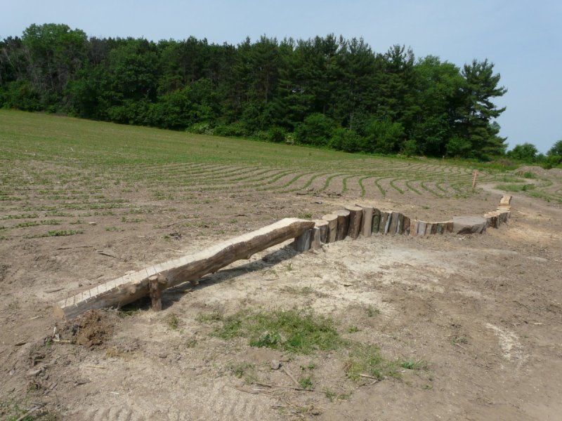
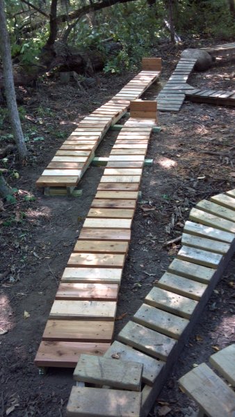
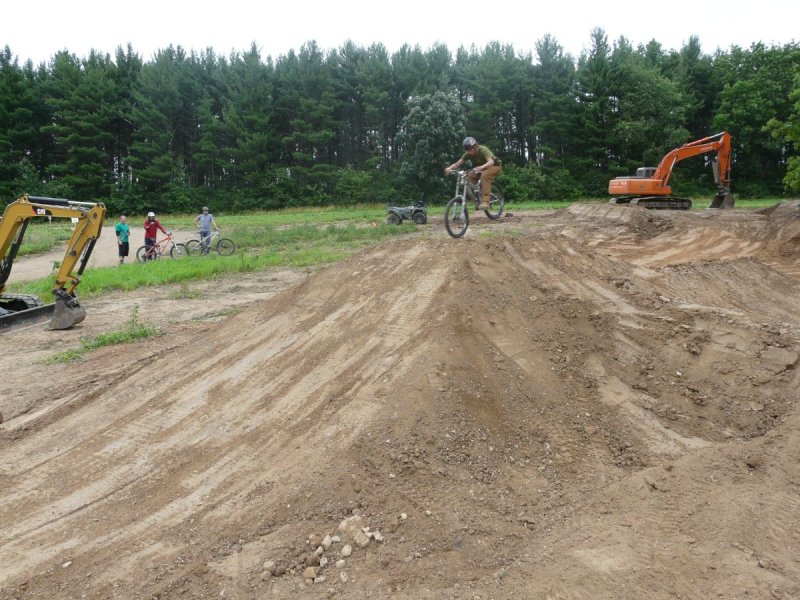
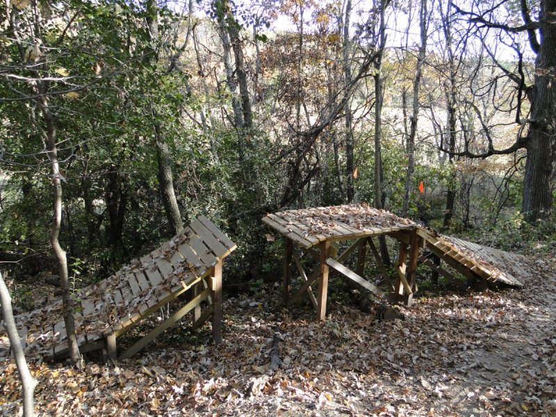
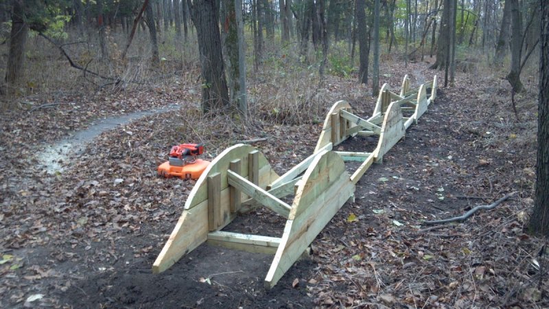
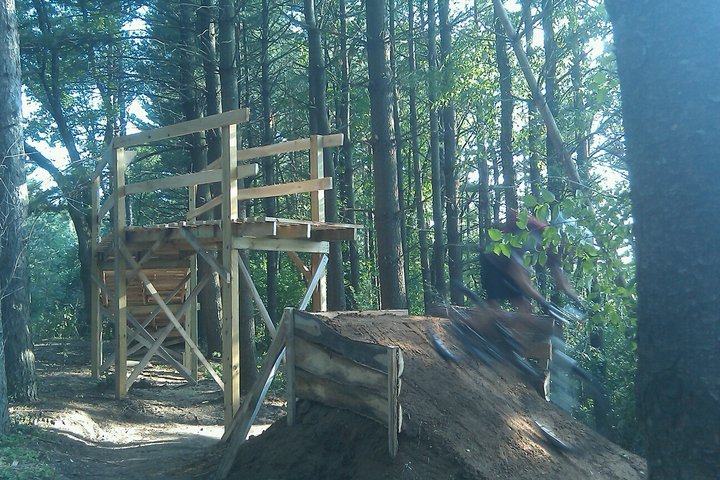
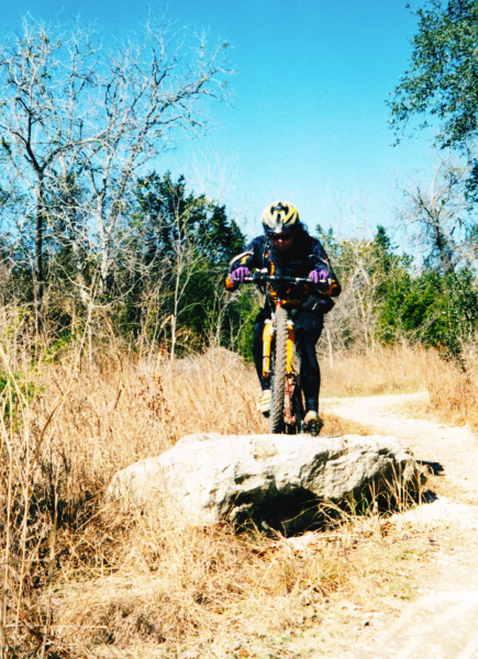
I posted some of these pictures on an Austin Mountain Biking Facebook page and wanted to share some of them and others here. The photos are from various trails in various states from when I started the first professional trail building company in Texas, Talon Trails LLC, in 2004, worked for Trek Bicycles designing and building their test trails, and volunteered with local clubs. I designed and/or built trail in 14 states, Canada, and Puerto Rico, and enjoyed almost every bit of it. While I miss designing and building trails and features, my life & priorities are a lot different now.


-
Damn, Maureen! I'm sorry this happened! I don't have a recumbent but can offer sympathy. 😞
-
Also, the purpose of the post was to let people know that you can add data in Open Street Maps that will then be added to RWGPS. I find this super useful b/c I connect through green spaces and other places where there is no connecting line in RWGPS, which means I have to draw the trail or line every time. Adding it to OSM means it'll always be on RWGPS.
-
I am not paying to use the app. I create the route in a browser on my PC then save and upload it. When I start and sync my Wahoo Roam, the route is there.
-
I use Ride With GPS (RWGPS) frequently to plot my rides and send them to my Wahoo Roam to load then follow. Sometimes, a trail or connection is missing, and I have to switch to drawing a line, which is cumbersome when drawing a trail. I found that you can add trails on Open Street Map (OSM,) as RWGPS uses data from this site (and Google Maps) and pulls the data about every other week from those sources. If you use RWGPS and find yourself having to draw lines instead of following trails, create an account on OSM and get to work! It's not the most intuitive, and there is a tutorial. Once you figure it out, it's not difficult.
-

Lakeway Route Suggestions for Sunday, 09/15/2024
WhoAmI replied to WhoAmI's topic in Mountain Biking Discussion
I can navigate the trails are they were 10 years ago but don't know the new(er0 stuff. A buddy of mine sent me a route from one of the ASS rides, so I have it loaded on my Wahoo. Thanks! -
Lakeway Route Suggestions for Sunday, 09/15/2024
WhoAmI posted a topic in Mountain Biking Discussion
I know this doesn't leave much time for me to get a route, but do any of you have a favorite route you like to ride at the Lakeway Trails? We prefer an intermediate to advanced ride from 10-16 miles taking into account the elevation out there. If you have a link to a .gpx or other file I can upload to my Wahoo Roam, then it's even better. Thanks! -
Check page 25 of this document maybe.
-
Man, I haven't seen Bart in ages!
-
FTFY. 😑
-
Does anybody recognize it from before the bridge construction started for the concrete trail over Walnut Creek to east of Lamar? This photos is of my brother back around 1995 or so. Spoiler alert: The approximate location is linked below the photo. Approximate rock location
-
That's how I remember it coming about. Calling it a 1/2 a notch harder than Walnut Creek was more tongue-in-cheek than a serious jab. There were also a lot fewer technical sections due to erosion than there are today, so it was a lot easier then than now. I used to be able to clean the Deception in one take back in the day; there are now a few sections I can't clean anymore and stopped trying to clean.
-
Thanks, Maureen!
-
May I have that helmet for Debbie? I DMed you my number just in case...
-
So, apparently, it's time for an e-bike.
WhoAmI replied to TheX's topic in Mountain Biking Discussion
I've owned a commuter e-bike before and enjoyed it, and I've ridden a few e-MTBs, though only once on a trail. I can see myself getting one one of these days but not until my body starts to give out. Unpopular statement coming up: My only issue with e-bikes is them being ridden on trails that they are legally not allowed to be on. This includes Williamson County trails and City of Austin trails, though City Park is an exception. I don't know about LCRA's policy. Travis County allows Class I and Class II but not Class III. Lakeway also allows e-bikes, Electric bicycles are divided into a three-class system that limits the maximum assisted speed of an e-bike: Class 1 electric bicycle means an electric bicycle equipped with a motor that provides assistance only when the rider is pedaling, and that ceases to provide assistance when the bicycle reaches the speed of 20 miles per hour. Class 2 electric bicycle means an electric bicycle equipped with a motor that may be used exclusively to propel the bicycle, and that is not capable of providing assistance when the bicycle reaches the speed of 20 miles per hour. Class 3 electric bicycle means an electric bicycle equipped with a motor that provides assistance only when the rider is pedaling, and that ceases to provide assistance when the bicycle reaches the speed of 28 miles per hour. -
Welcome to Springtime, the Poison Ivy is out
WhoAmI replied to AustinBike's topic in Mountain Biking Discussion
I got a bad case of poison ivy at the first trail I was paid to build, and the rash required a steroid shot. When I was building trail in Wisconsin around 12 +/- years ago, I was made aware of wild parsnip and what it does to skin after getting on skin and then being exposed to UV rays. Don't google for images; it can be pretty gross, as it casues a chemical burn. Anyway, my arm brushed up against some, and to this day I get a spot on my arm that itches then bleeds pretty much from spring to fall. The weird thing is that the spot has moved upmy arm from my wrist toward my elbow by about four inches. -
How'd the 2023 Dragon Slayer go for you?
WhoAmI replied to WhoAmI's topic in Mountain Biking Discussion
Unless they move the event back to September, I'm not likely to make another attempt. While this last event has great temperatures, I don't like cold weather, which is very likely to happen in December. Also, in my Texas opinion, this event should take place in August b/c you're "dragon slaying," and dragons generally (not all) are fire breathing. lmoa Plus, fall weather typically is wetter, and I really don't like riding wet trails regardless of rock content. -
How many laps did you ride? Did you like the route? Have you done this event before? How about that weather? I'd love to hear some recaps.
-
+1 on that.
-
Do you also have a Shimano chain ring? It could be that. They used proprietary security torx chainring bolts that loosen easily and squeak like a BB.
-
What was the first trail you rode in Austin?
WhoAmI replied to WhoAmI's topic in Mountain Biking Discussion
While not specifically the study we're mentioning here, scroll to page 144 here. From the paper: "The methodology used here was modified from the methods used for PVAs of the Golden-cheeked Warbler and the Black-capped Vireo during two Population and Habitat Viability Workshops concerning these species, conducted during the fall of 1995, and sponsored by the U.S. Fish and Wildlife Service (USFWS 1996). "